
Barleria greenii M.Balkwill & K.Balkwill
Wild Bush Petunia; Wild Bushviolet


 12 photographs ›
Summary
Barleria greenii (Green's barleria, or wild bush petunia), is a plant in the family Acanthaceae. It is endemic to a small area near Estcourt in KwaZulu-Natal, South Africa.
Quoted from Wikipedia, "Barleria greenii", CC BY-SA 4.0.
About the genus · Barleria
Barleria is a genus of plants in the family Acanthaceae. It includes 303 species native to the tropics and subtropics, including the Americas from Mexico to northern South America, sub-Saharan Africa, Egypt and the Arabian Peninsula, the Indian subcontinent, Indochina, southern China and Taiwan, parts of Malesia, and New Guinea.
Quoted from Wikipedia, "Barleria", CC BY-SA 4.0.
Cultivation
Climate across the habitat
Natural habitat
How this section is made
Photographs


Photographs: Andrew massyn, Public domain, via Wikimedia Commons; Andrew massyn, CC BY-SA 3.0, via Wikimedia Commons; Karen Pagel, CC BY-SA 3.0, via Wikimedia Commons; SAplants, CC BY-SA 4.0, via Wikimedia Commons (3).
Related
Other Barleria 15 in the reference
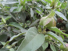 Barleria albostellata Grey Barleria Photo: CC BY, linkie
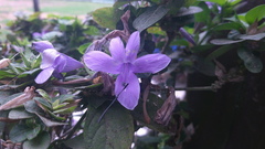 Barleria cristata Crested Philippine violet Photo: CC BY, Raúl A. Ruiz M.
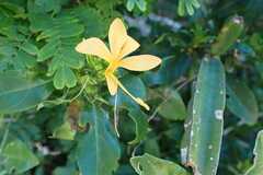 Barleria delagoensis Acanthaceae Photo: CC0, author not stated
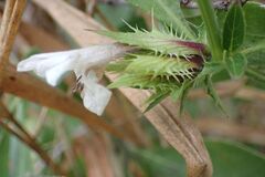 Barleria elegans White Bushveld Barleria Photo: CC0, author not stated
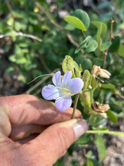 Barleria lancifolia Butterfly Barleria Photo: CC0, author not stated
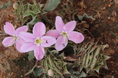 Barleria lichtensteiniana Acanthaceae Photo: CC0, author not stated
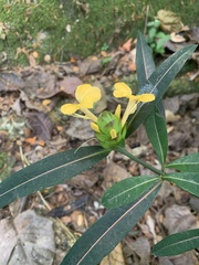 Barleria lupulina Hophead Philippine violet Photo: CC BY-SA, Dairon Cuevas Riveras
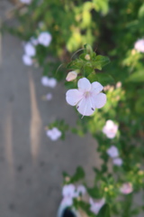 Barleria obtusa Blue Bushviolet Photo: CC BY, Presha Soogrim
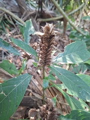 Barleria oenotheroides Acanthaceae Photo: CC BY, Oscar Israel Rodríguez Ortiz
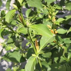 Barleria prionitis Porcupine flower Photo: CC BY, Raja Sekhar Chimirala
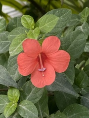 Barleria repens Coral Creeper Photo: CC BY, nebrooks
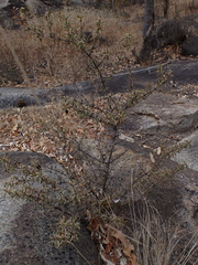 Barleria rotundifolia Acanthaceae Photo: CC BY-SA, Andrew Hankey all 16 ›
Names & registers
The record
Every figure here is derived from public data by a stated rule and names its source; nothing about this species is written for its page by a person or by AI, apart from the marked, credited quotations. How →
Where this page came from built 2026-10-21
gbif.species answeredasked 2026-10-21gbif.synonyms answeredasked 2026-10-21gbif.vernacular answeredasked 2026-10-21names fetched 2026-10-21wcvp.distribution answeredas of 2026-06-04gbif.occurrences answeredas of 2026-10-21GBIF occurrence download https://doi.org/10.15468/dl.hbdw64, of 2026-10-21climate nothing to reportasked 2026-10-21only 2 distinct land cells of the climate grid hold an in-range record placed to within 10 km; three are needed for an envelopewikidata answeredasked 2026-10-21wikipedia answeredasked 2026-10-21inat.photos.wild nothing to reportasked 2026-10-22from iNaturalist's open data of 2026-09-27: research-grade observations with an open-licence photograph, the 24 whose photographs iNaturalist received last (the open data holds no votes); filled 2026-10-22inat.photos.cultivated not askedgbif.media nothing to reportasked 2026-10-21commons answeredasked 2026-10-21openalex not askednot yet asked for this reference; a later fill takes the papers from OpenAlex's snapshotEvery source is recorded as having answered, reported nothing, refused, failed, not been asked, or answered twice where one answer is taken (“not taken: two items answered”), and, for a source asked when this page was built, when: the figures are as the source held them that day; a source read from a file (Kew's World Checklist, a GBIF download) says "as of" the file's day instead; a row carried from an earlier build of the page names that build instead. Only “nothing to report” is ever shown as an absence. Records came from 4 datasets via GBIF.org; each carries its own licence.