
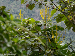
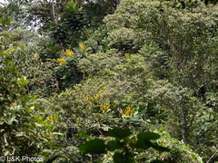
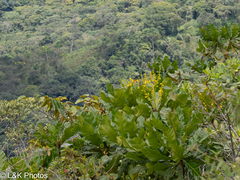
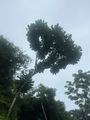
 36 photographs ›
At a glance
- Jan
- Feb
- Mar
- Apr
- May
- Jun
- Jul
- Aug
- Sep
- Oct
- Nov
- Dec
Summary
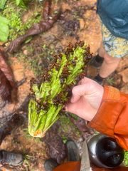
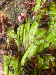
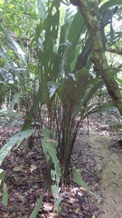
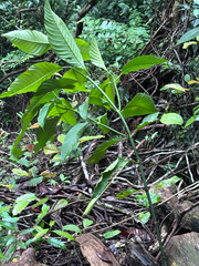
Cespedesia is a genus of flowering plants belonging to the family Ochnaceae. It contains a single species, Cespedesia spathulata. The common name is Membrillo de Montana. At the top of the trunk and any vertical reiterations is a rosette of 1 m (3 ft 3 in) long spatulate leaves which are held in a near-vertical posture.
Quoted from Wikipedia, "Cespedesia", CC BY-SA 4.0.
Cultivation
Seasons
The rain rule reads no short rainy season: 70% of the median year's rain (2,976 mm of 3,813 mm) takes 8 months, April to November. Mean temperature moves 1.0 °C between the warmest and coldest month. Months are the habitat's, northern hemisphere. The habitat lies within 10° of the equator, where the shift rule does not apply, so they are not shifted for a collection elsewhere.
Rain
3,813 mm in the median year at the habitat, 2,976 mm of it April to November. Wettest month October at 423 mm, driest month January at 172 mm. Across the grid cells of the range the year's total runs 2,254 mm to 7,533 mm, the 10th to 90th percentile of each cell's own year. The median of the cells' own yearly totals, 3,742 mm, is the year's rain at the top of the page; the 3,813 mm here is the median year's, the twelve monthly medians added, which the rain rule reads. Habitat calendar, northern hemisphere; median year across the grid cells of the range, CHELSA.
Light
Open sky over the habitat: 26 to 33 mol/m²/day across the year (daily light integral, median year across the grid cells of the range, CHELSA; the lowest 10th-percentile month across the cells is 19, the highest 90th-percentile month 40).
Warmth and air
Coldest: the 1st-percentile night over 44 years at a typical spot in the range is 19.0 °C, the absolute minimum 16.2 °C, no frost in 44 years (NASA POWER daily minima). Warmest: the 99th-percentile day is 35.7 °C. Monthly means: the coldest month's mean nightly low 20.7 °C in July (across the grid cells of the range 17.1 °C to 23.3 °C), the warmest month's mean daily high 28.0 °C in March (median year across the grid cells of the range, CHELSA). Cold floor: 19.0 °C, which is the 1st-percentile night over 44 years at a typical spot in the range (NASA POWER).
Relative humidity at the habitat: 67 to 71% across the year (monthly means, median year across the grid cells of the range, CHELSA). A figure about the air, saying nothing about how the plant takes water.
How this section is made
Each card states this species' habitat figures with their sources, and what two fixed rules read from them; nothing here says what the plant does, wants or tolerates. The rules · the terms.
Seasons. Read from the median year of CHELSA monthly rainfall and mean temperature across the grid cells of the range: the rain rule takes the smallest set of months carrying 70% of the rain and calls it winter when its mean is more than half a degree below the year's, summer when more than that above, and neither in between; the temperature rule, used only under 120 mm, names the cooler six months when they are at least a degree cooler than the other six. Months are shifted for the other hemisphere only where the temperature curve moves 4 °C or more and the habitat lies 10° or more from the equator. A reading of the curves, not an observation of the plant.
Rain. CHELSA monthly precipitation, median year across the grid cells of the range. The rain that falls where the species is recorded; nothing about how the plant takes water.
Light. CHELSA shortwave radiation at each envelope cell, a daily-mean flux taken to a daily total and converted at 2.07 mol of PAR per MJ. The sky over the habitat, measured; what reaches a plant under a rock, a shrub or a shade cloth is not.
Temperature. NASA POWER daily minima and maxima over 44 years at a typical spot in the range, lapse-corrected +16 m to its elevation; CHELSA monthly means, median year across the grid cells of the range. The cold floor is the 1st-percentile night named in its sentence. Not a measured survival limit for any plant in a pot.
Humidity. CHELSA relative humidity, median year across the grid cells of the range.
Climate across the habitat
Habitat months, northern hemisphere
Mean daily high from 27 °C in Jan, Jun, Jul, Oct, Nov and Dec to 28 °C in Feb, Mar, Apr, May, Aug and Sep; mean nightly low from 21 °C in Jan, Feb, Mar, Jun, Jul, Aug, Sep, Oct, Nov and Dec to 22 °C in Apr and May. The cold quarter, Sep to Nov, is the three months around the coldest month's mean nightly low, centred on the 10 months in a row that tie for it. 3,813 mm of rain in the median year (the twelve monthly medians added), the wettest month Oct. The bands show the 10th to 90th percentile across 191 habitat cells. Over 44 years at a typical spot in the range (NASA POWER) the absolute minimum was 16.2 °C and the 99th-percentile day 35.7 °C; neither is dated to a month. Beneath: daily light integral and relative humidity through the year, each on its own scale.
Figures by month
| Figure | Jan | Feb | Mar | Apr | May | Jun | Jul | Aug | Sep | Oct | Nov | Dec |
|---|---|---|---|---|---|---|---|---|---|---|---|---|
| Day °C | 27 / 24–30 | 28 / 24–31 | 28 / 24–30 | 28 / 24–30 | 28 / 24–29 | 27 / 24–29 | 27 / 25–30 | 28 / 25–30 | 28 / 25–30 | 27 / 24–29 | 27 / 23–29 | 27 / 23–29 |
| Night °C | 21 / 17–23 | 21 / 17–24 | 21 / 17–24 | 22 / 18–24 | 22 / 18–24 | 21 / 18–24 | 21 / 17–23 | 21 / 17–23 | 21 / 18–23 | 21 / 18–23 | 21 / 17–23 | 21 / 17–23 |
| Rain mm | 172 / 53–558 | 183 / 78–477 | 247 / 101–491 | 353 / 152–635 | 388 / 239–716 | 362 / 133–660 | 357 / 102–691 | 357 / 132–746 | 382 / 192–685 | 423 / 224–680 | 354 / 209–660 | 235 / 113–628 |
| DLI | 31 / 22–34 | 32 / 24–36 | 33 / 25–37 | 30 / 23–37 | 28 / 20–35 | 26 / 19–38 | 27 / 20–40 | 30 / 20–40 | 31 / 20–38 | 29 / 20–34 | 28 / 19–31 | 29 / 20–32 |
| RH % | 68 / 59–74 | 67 / 59–73 | 67 / 61–72 | 69 / 63–73 | 70 / 64–74 | 70 / 60–76 | 69 / 56–76 | 69 / 56–76 | 69 / 61–76 | 70 / 65–76 | 71 / 66–77 | 69 / 64–76 |
Records on both sides of the equator: the 5 cells at least 10° south of it have seasons six months apart and are left out, not combined into a year no place has. These figures are across the 191 cells that remain: the 17 at least 10° north and the 174 within 10° of the equator, which stay in either way.
How this section is made
Natural habitat
How this section is made
Photographs
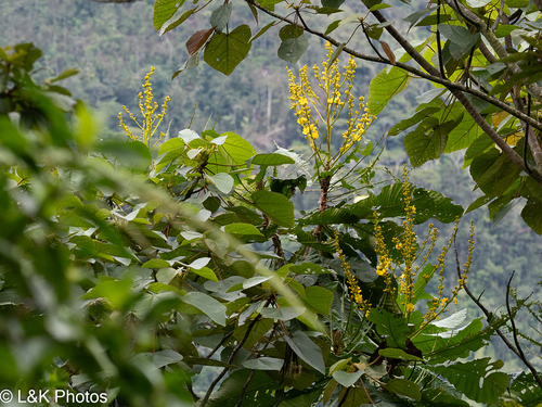
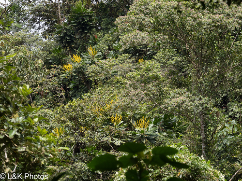
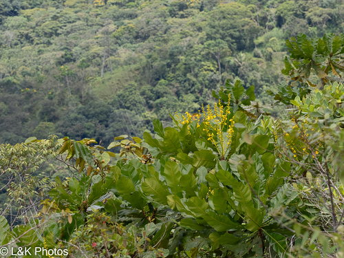
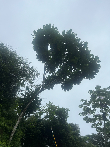
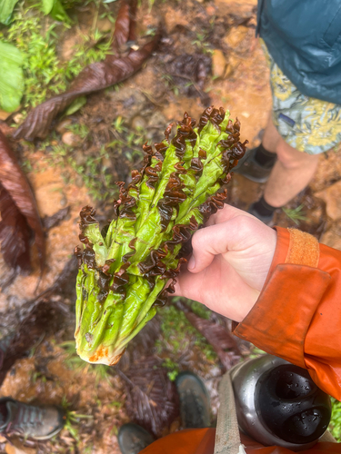
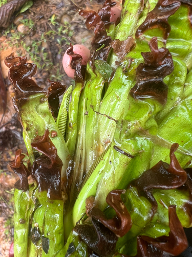
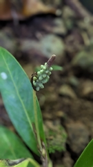
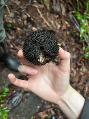
Photographs: author not stated, no rights reserved · CC0 (3); (c) Cy Stavros, some rights reserved (CC BY) (3).
Related
Similar habitat climate The 6 nearest by mean daily high, mean nightly low and rain, month by month. How.
 Cyclanthus bipartitus Split-leaf cyclanthus Photo: CC BY, keesgroenendijk
 Palicourea guianensis Showy cappel Photo: CC BY, reagan peschke
 Anthurium obtusum Araceae Photo: CC BY-SA, Yu
 Apeiba membranacea Monkey's comb Photo: CC BY, reagan peschke
 Passiflora vitifolia Perfumed passionflower Photo: CC BY, Luis G Restrepo
 Sobralia macrophylla Orchidaceae Photo: CC BY, Emily Turteltaub Nelson
Names & registers
Also known as Cespedesia amazonica; Cespedesia bonplandii; Cespedesia brasiliana; Cespedesia discolor; Cespedesia excelsa and 10 more. (GBIF Backbone)
The record
Every figure here is derived from public data by a stated rule and names its source; nothing about this species is written for its page by a person or by AI, apart from the marked, credited quotations. How →
Where this page came from built 2026-10-21
gbif.species answeredasked 2026-10-21gbif.synonyms answeredasked 2026-10-21gbif.vernacular answeredasked 2026-10-21names fetched 2026-10-21wcvp.distribution answeredas of 2026-06-04gbif.occurrences answeredas of 2026-10-21GBIF occurrence download https://doi.org/10.15468/dl.hbdw64, of 2026-10-21; 4 records within 1 km of a botanic garden, herbarium or zoo left out (2 at a botanic garden or arboretum, 1 at a herbarium, 1 at a zoo; Wikidata's list)climate answeredasked 2026-10-21climate.extremes answeredasked 2026-10-21NASA POWER (MERRA-2) daily 1981–2024, cell 2.00_-74.375, lapse-corrected +16 m at 6.5 °C/kmwikidata answeredasked 2026-10-21wikipedia answeredasked 2026-10-21Wikipedia redirects Cespedesia spathulata to Cespedesia, this species' genus (Q9737507), which holds one accepted species in Kew's WCVPinat.photos.wild answeredasked 2026-10-22from iNaturalist's open data of 2026-09-27: research-grade observations with an open-licence photograph, the 24 whose photographs iNaturalist received last (the open data holds no votes); filled 2026-10-22inat.photos.cultivated not askedgbif.media answeredasked 2026-10-21openalex not askednot yet asked for this reference; a later fill takes the papers from OpenAlex's snapshotEvery source is recorded as having answered, reported nothing, refused, failed, not been asked, or answered twice where one answer is taken (“not taken: two items answered”), and, for a source asked when this page was built, when: the figures are as the source held them that day; a source read from a file (Kew's World Checklist, a GBIF download) says "as of" the file's day instead; a row carried from an earlier build of the page names that build instead. Only “nothing to report” is ever shown as an absence. Records came from 129 datasets via GBIF.org; each carries its own licence.