
Eurybia saxicastellii (J.J.N.Campb. & Medley) G.L.Nesom
Rockcastle aster
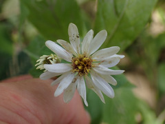
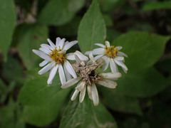
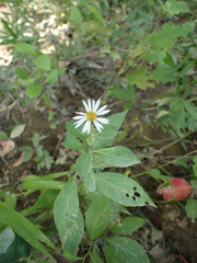
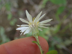
 13 photographs ›
Summary
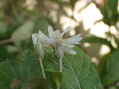
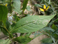
Eurybia saxicastelli, commonly known as the Rockcastle aster, is an herbaceous perennial native to the south eastern United States. It is present only in the states of Kentucky and Tennessee along the Rockcastle River and the nearby Big South Fork River. As a result of its extremely restricted range as well as human alterations to its habitat, it is considered critically imperiled by NatureServe. The flowers appear in the late summer through fall and have ray florets that are pale blue to pale white and yellow disc florets that turn purplish with age.
Quoted from Wikipedia, "Eurybia saxicastelli", CC BY-SA 4.0.
Cultivation
Climate across the habitat
Natural habitat
How this section is made
Photographs
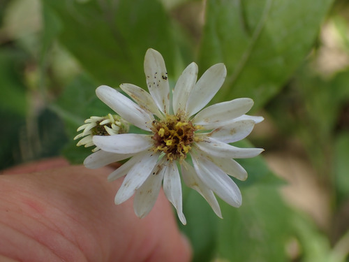
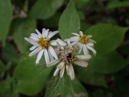
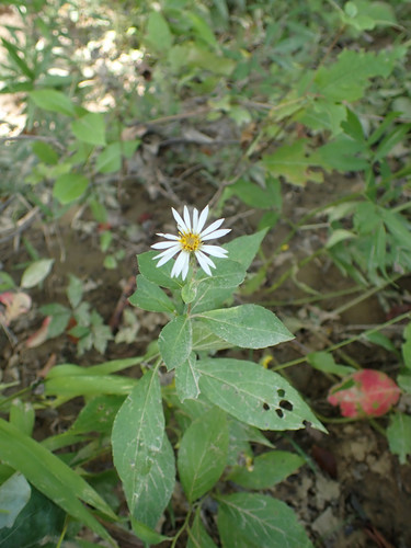
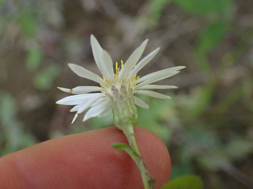
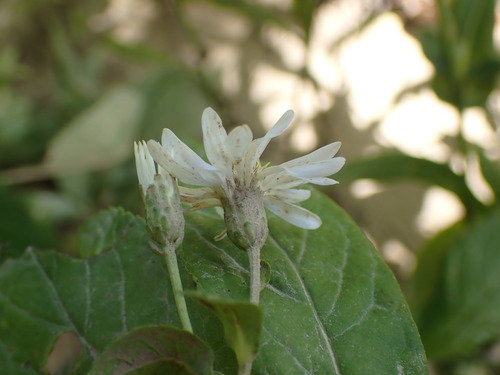
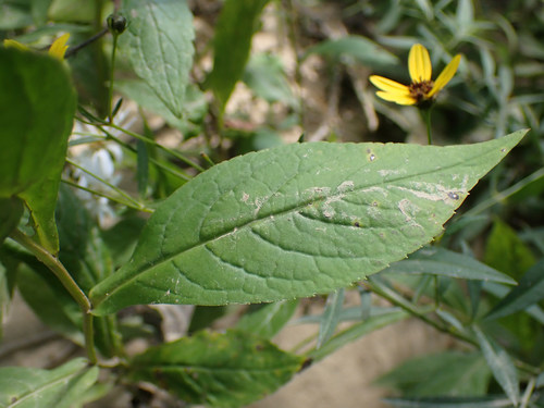
Photographs: (c) Evan M. Raskin, some rights reserved (CC BY) (6).
Related
Other Eurybia 12 in the reference
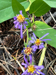 Eurybia conspicua Showy aster Photo: CC BY, scottj800
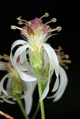 Eurybia divaricata White wood aster Photo: CC BY-SA, Douglas Goldman
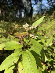 Eurybia furcata Forked aster Photo: CC BY, Brandon Corder
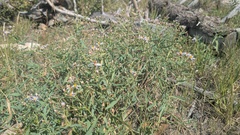 Eurybia glauca Gray Aster Photo: CC0, author not stated
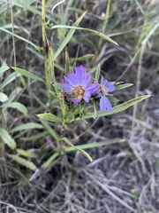 Eurybia hemispherica Showy aster Photo: CC BY, jmphelps Eurybia × herveyi Asteraceae
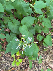 Eurybia macrophylla Large-leaved aster Photo: CC0, author not stated
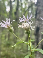 Eurybia radula Low rough aster Photo: CC BY, Scott Ward
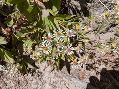 Eurybia radulina Rough-leaved aster Photo: CC0, author not stated
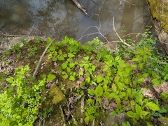 Eurybia schreberi Nettle-leaved Michaelmas-daisy Photo: CC BY, Ryan Sorrells
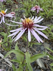 Eurybia sibirica Siberian aster Photo: CC BY, Matt Berger
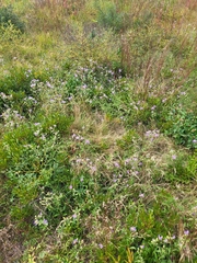 Eurybia spectabilis Low showy aster Photo: CC BY, Sean Rigney
Names & registers
Also known as Aster saxicastellii. (GBIF Backbone)
The record
Every figure here is derived from public data by a stated rule and names its source; nothing about this species is written for its page by a person or by AI, apart from the marked, credited quotations. How →
Where this page came from built 2026-10-22
gbif.species answeredasked 2026-10-22gbif.synonyms answeredasked 2026-10-22gbif.vernacular answeredasked 2026-10-22names fetched 2026-10-22wcvp.distribution answeredas of 2026-06-04gbif.occurrences answeredas of 2026-10-21GBIF occurrence download https://doi.org/10.15468/dl.hbdw64, of 2026-10-21climate nothing to reportasked 2026-10-2220 in-range records, none placed to within 10 kmwikidata answeredasked 2026-10-22IPNI and POWO linked by Kew's number for Eurybia saxicastellii (J.J.N.Campb. & Medley) G.L.Nesom (the item's: IPNI 1060406-2, POWO 981741-1)wikipedia answeredasked 2026-10-22inat.photos.wild answeredasked 2026-10-22from iNaturalist's open data of 2026-09-27: research-grade observations with an open-licence photograph, the 24 whose photographs iNaturalist received last (the open data holds no votes); filled 2026-10-22inat.photos.cultivated not askedgbif.media answeredasked 2026-10-22none of the photographs on this page is credited to GBIF: those shown are other sources', and GBIF's were the same photographs or were set aside by the photograph rulescommons answeredasked 2026-10-22openalex not askednot yet asked for this reference; a later fill takes the papers from OpenAlex's snapshotEvery source is recorded as having answered, reported nothing, refused, failed, not been asked, or answered twice where one answer is taken (“not taken: two items answered”), and, for a source asked when this page was built, when: the figures are as the source held them that day; a source read from a file (Kew's World Checklist, a GBIF download) says "as of" the file's day instead; a row carried from an earlier build of the page names that build instead. Only “nothing to report” is ever shown as an absence. Records came from 3 datasets via GBIF.org; each carries its own licence.