 73 photographs ›
At a glance
- Jan, shaded
- Feb, shaded
- Mar, shaded
- Apr
- May
- Jun
- Jul
- Aug
- Sep
- Oct
- Nov, shaded
- Dec, shaded
Summary
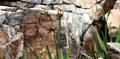
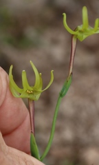
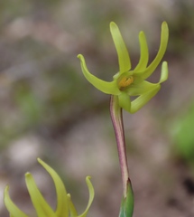
Freesia viridis is a perennial, geophyte endemic to the Northern Cape and the Western Cape. The species occurs from Hondeklip Bay to Bok Bay. The plant has lost its habitat to urban development.
Quoted from Wikipedia, "Freesia viridis", CC BY-SA 4.0.
About the genus · Freesia
Freesia is a genus of herbaceous perennial flowering plants in the family Iridaceae, first described as a genus in 1866 by Christian Friedrich Ecklon (1886) and named after the German botanist and medical practitioner, Friedrich Freese (1795–1876). It is native to the eastern side of southern Africa, from Kenya south to South Africa, most species being found in Cape Provinces. Species of the former genus Anomatheca are now included in Freesia. More on Wikipedia ›
Quoted from Wikipedia, "Freesia", CC BY-SA 4.0.
Cultivation
Grouped as a bulb, tuber or caudex, listed under the family Iridaceae in the archetype table, and Kew describes it as “tuberous geophyte”.
Seasons
The rain rule reads a winter growing season: 70% of the median year's rain (210 mm of 292 mm) falls in May to September, cooler than the year (wet-season mean 14.0 °C against a yearly mean of 17.2 °C). Months are the habitat's, southern hemisphere; shifted six months for a northern-hemisphere collection: November to March.
Rain
292 mm in the median year at the habitat, 210 mm of it May to September. Wettest month July at 52 mm, driest months (2 at 6 mm). Across the grid cells of the range the year's total runs 143 mm to 502 mm, the 10th to 90th percentile of each cell's own year. The median of the cells' own yearly totals, 296 mm, is the year's rain at the top of the page; the 292 mm here is the median year's, the twelve monthly medians added, which the rain rule reads. Habitat calendar, southern hemisphere; median year across the grid cells of the range, CHELSA.
Light
Open sky over the habitat: 18 to 54 mol/m²/day across the year (daily light integral, median year across the grid cells of the range, CHELSA; the lowest 10th-percentile month across the cells is 17, the highest 90th-percentile month 56).
Warmth and air
Coldest: the 1st-percentile night over 44 years at a typical spot in the range is 3.9 °C, the absolute minimum 0.2 °C, no frost in 44 years (NASA POWER daily minima). Warmest: the 99th-percentile day is 42.2 °C. Monthly means: the coldest month's mean nightly low 7.9 °C in July (across the grid cells of the range 6.4 °C to 12.0 °C), the warmest month's mean daily high 29.2 °C in February (median year across the grid cells of the range, CHELSA). Cold floor: 3.9 °C, which is the 1st-percentile night over 44 years at a typical spot in the range (NASA POWER).
Relative humidity at the habitat: 54 to 57% across the year (monthly means, median year across the grid cells of the range, CHELSA). A figure about the air, saying nothing about how the plant takes water.
How this section is made
Each card states this species' habitat figures with their sources, and what two fixed rules read from them; nothing here says what the plant does, wants or tolerates. The rules · the terms.
Seasons. Read from the median year of CHELSA monthly rainfall and mean temperature across the grid cells of the range: the rain rule takes the smallest set of months carrying 70% of the rain and calls it winter when its mean is more than half a degree below the year's, summer when more than that above, and neither in between; the temperature rule, used only under 120 mm, names the cooler six months when they are at least a degree cooler than the other six. Months are shifted for the other hemisphere only where the temperature curve moves 4 °C or more and the habitat lies 10° or more from the equator. A reading of the curves, not an observation of the plant.
Rain. CHELSA monthly precipitation, median year across the grid cells of the range. The rain that falls where the species is recorded; nothing about how the plant takes water.
Light. CHELSA shortwave radiation at each envelope cell, a daily-mean flux taken to a daily total and converted at 2.07 mol of PAR per MJ. The sky over the habitat, measured; what reaches a plant under a rock, a shrub or a shade cloth is not.
Temperature. NASA POWER daily minima and maxima over 44 years at a typical spot in the range, lapse-corrected -183 m to its elevation; CHELSA monthly means, median year across the grid cells of the range. The cold floor is the 1st-percentile night named in its sentence. Not a measured survival limit for any plant in a pot.
Humidity. CHELSA relative humidity, median year across the grid cells of the range.
Group. Listed under the family Iridaceae in the archetype table, and Kew describes it as “tuberous geophyte”. A group is taken only where Kew's description of the species agrees with the table's listing. The table gives no figure and no prose; the cold floor is the habitat's alone.
Climate across the habitat
Habitat months, southern hemisphere
Mean daily high from 18 °C in Jun and Jul to 29 °C in Jan and Feb; mean nightly low from 8 °C in Jul and Aug to 17 °C in Feb. The cold quarter, Jun to Aug, is the three months around the coldest month's mean nightly low, centred on the 2 months in a row that tie for it. 292 mm of rain in the median year (the twelve monthly medians added), the wettest month Jul. The bands show the 10th to 90th percentile across 65 habitat cells. Over 44 years at a typical spot in the range (NASA POWER) the absolute minimum was 0.2 °C and the 99th-percentile day 42.2 °C; neither is dated to a month. Beneath: daily light integral and relative humidity through the year, each on its own scale.
Figures by month
| Figure | Jan | Feb | Mar | Apr | May | Jun | Jul | Aug | Sep | Oct | Nov | Dec |
|---|---|---|---|---|---|---|---|---|---|---|---|---|
| Day °C | 29 / 20–32 | 29 / 20–32 | 28 / 19–31 | 25 / 18–27 | 21 / 17–24 | 18 / 16–20 | 18 / 15–20 | 19 / 15–21 | 21 / 16–24 | 24 / 17–27 | 26 / 18–28 | 27 / 19–30 |
| Night °C | 16 / 15–17 | 17 / 16–17 | 16 / 15–16 | 14 / 13–15 | 11 / 10–14 | 9 / 7–13 | 8 / 6–12 | 8 / 7–12 | 10 / 9–13 | 12 / 11–14 | 14 / 12–15 | 15 / 14–16 |
| Rain mm | 6 / 4–12 | 6 / 4–10 | 11 / 6–20 | 23 / 13–41 | 39 / 18–66 | 51 / 21–84 | 52 / 21–93 | 39 / 18–66 | 29 / 12–49 | 15 / 9–30 | 11 / 6–19 | 10 / 4–20 |
| DLI | 54 / 53–55 | 49 / 48–50 | 40 / 39–43 | 30 / 28–33 | 22 / 20–26 | 18 / 17–22 | 20 / 18–24 | 25 / 23–29 | 34 / 32–38 | 44 / 42–47 | 51 / 50–54 | 54 / 53–56 |
| RH % | 55 / 50–64 | 55 / 50–64 | 55 / 50–64 | 55 / 50–63 | 55 / 49–62 | 56 / 50–59 | 56 / 50–59 | 57 / 50–61 | 56 / 50–62 | 54 / 50–62 | 55 / 51–62 | 55 / 51–64 |
How this section is made
Natural habitat
How this section is made
Photographs

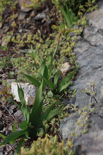
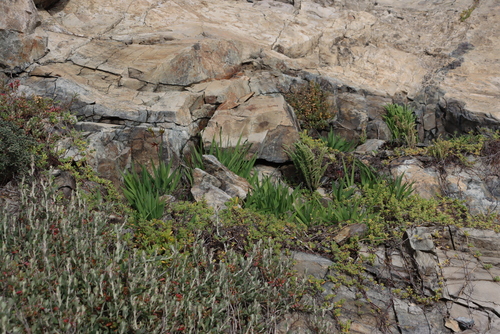
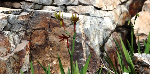
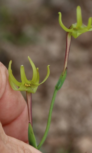
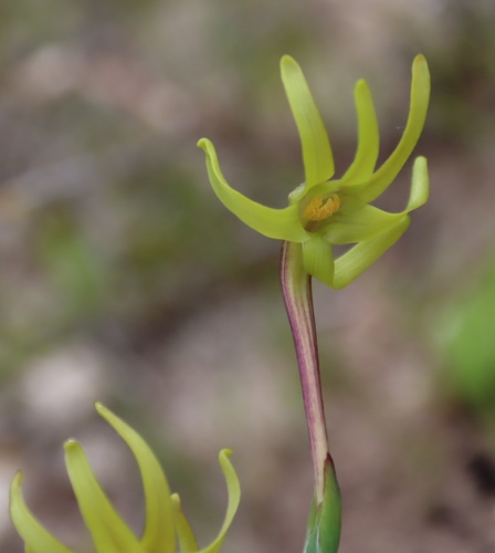
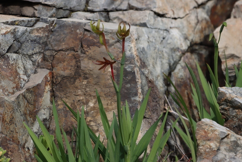
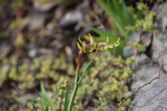
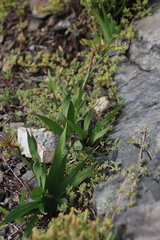
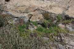
Photographs: (c) Tony Rebelo, some rights reserved (CC BY-SA) (6).
Related
Similar habitat climate The 6 nearest by mean daily high, mean nightly low and rain, month by month. How.
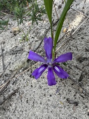 Babiana petiolata Stalked Bobbejaantjie Photo: CC BY-SA, Cecile Roux
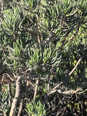 Curio corymbifer Asteraceae Photo: CC0, Di Turner
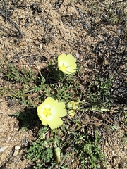 Grielum humifusum Paper Snotblom Photo: CC BY, jeanjacquesgodon
 Othonna rotundiloba Fatlobe Babooncabbage Photo: CC BY-SA, Tony Rebelo
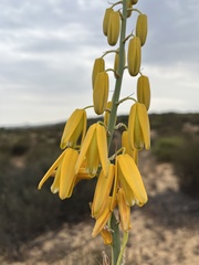 Albuca clanwilliamae-gloria Asparagaceae Photo: CC BY, Ren Hoekstra
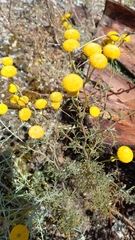 Oncosiphon grandiflorus Swollen-flowered Maywood Photo: CC BY, Ian Webb
Other Freesia 7 in the reference
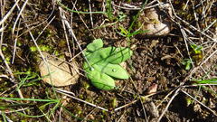 Freesia caryophyllacea Fragrant Freesia Photo: CC BY-SA, Paul Emms
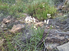 Freesia corymbosa Common freesia Photo: CC BY-SA, douglaseustonbrown
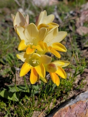 Freesia fergusoniae Riversdale Freesia Photo: CC BY-SA, Brian du Preez
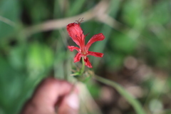 Freesia grandiflora Forest Freesia Photo: CC BY-SA, Suvarna Parbhoo Mohan
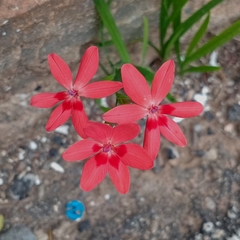 Freesia laxa False freesia Photo: CC0, author not stated
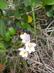 Freesia leichtlinii Dune Kammetjie Photo: CC BY, Christiaan Viljoen
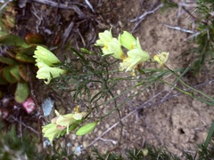 Freesia refracta Garden Freesia Photo: CC BY, Christina
Names & registers
Also known as Anomatheca viridis; Gladiolus viridis; Lapeirousia viridis; Montbretia viridis; Tapeinia viridis and 2 more. (GBIF Backbone)
The record
Every figure here is derived from public data by a stated rule and names its source; nothing about this species is written for its page by a person or by AI, apart from the marked, credited quotations. How →
Where this page came from built 2026-10-22
gbif.species answeredasked 2026-10-22gbif.synonyms answeredasked 2026-10-22gbif.vernacular answeredasked 2026-10-22names fetched 2026-10-22wcvp.distribution answeredas of 2026-06-04gbif.occurrences answeredas of 2026-10-21GBIF occurrence download https://doi.org/10.15468/dl.hbdw64, of 2026-10-21climate answeredasked 2026-10-22climate.extremes answeredasked 2026-10-22NASA POWER (MERRA-2) daily 1981–2024, cell -31.50_18.750, lapse-corrected -183 m at 6.5 °C/kmwikidata answeredasked 2026-10-22wikipedia answeredasked 2026-10-22inat.photos.wild answeredasked 2026-10-22from iNaturalist's open data of 2026-09-27: research-grade observations with an open-licence photograph, the 24 whose photographs iNaturalist received last (the open data holds no votes); filled 2026-10-22inat.photos.cultivated not askedgbif.media answeredasked 2026-10-22none of the photographs on this page is credited to GBIF: those shown are other sources', and GBIF's were the same photographs or were set aside by the photograph rulesopenalex not askednot yet asked for this reference; a later fill takes the papers from OpenAlex's snapshotEvery source is recorded as having answered, reported nothing, refused, failed, not been asked, or answered twice where one answer is taken (“not taken: two items answered”), and, for a source asked when this page was built, when: the figures are as the source held them that day; a source read from a file (Kew's World Checklist, a GBIF download) says "as of" the file's day instead; a row carried from an earlier build of the page names that build instead. Only “nothing to report” is ever shown as an absence. Records came from 4 datasets via GBIF.org; each carries its own licence.