 74 photographs ›
At a glance
- Jan
- Feb
- Mar
- Apr
- May, shaded
- Jun, shaded
- Jul, shaded
- Aug, shaded
- Sep, shaded
- Oct
- Nov
- Dec
Summary
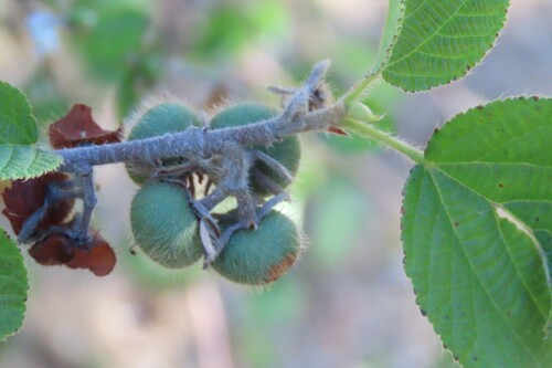
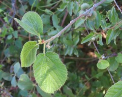
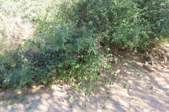
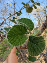
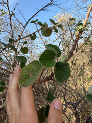
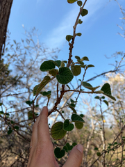
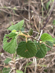
Grewia villosa is a shrub, often scrambling and hardly exceeding 4 m in height. Leaves are fairly large, serrated and heart-shaped. It grows naturally, mainly in dry habitats. It is common in most of the semi-arid parts of Eastern Africa but may now be rare in parts of its natural distribution. More on Wikipedia ›
Quoted from Wikipedia, "Grewia villosa", CC BY-SA 4.0.
About the genus · Grewia
Grewia is a large flowering plant genus in the mallow family Malvaceae, in the expanded sense as proposed by the Angiosperm Phylogeny Group. Formerly, Grewia was placed in either the family Tiliaceae or the Sparrmanniaceae. However, these were both not monophyletic with respect to other Malvales - as already indicated by the uncertainties surrounding placement of Grewia and similar genera - and have thus been merged into the Malvaceae. More on Wikipedia ›
Quoted from Wikipedia, "Grewia", CC BY-SA 4.0.
Cultivation
Seasons
The rain rule reads a summer growing season: 70% of the median year's rain (402 mm of 525 mm) falls in November to March, warmer than the year (wet-season mean 25.5 °C against a yearly mean of 22.6 °C). Months are the habitat's, southern hemisphere; shifted six months for a northern-hemisphere collection: May to September.
Rain
525 mm in the median year at the habitat, 402 mm of it November to March. Wettest month January at 89 mm, driest months (2 at 7 mm). Across the grid cells of the range the year's total runs 366 mm to 1,056 mm, the 10th to 90th percentile of each cell's own year. The median of the cells' own yearly totals, 577 mm, is the year's rain at the top of the page; the 525 mm here is the median year's, the twelve monthly medians added, which the rain rule reads. Habitat calendar, southern hemisphere; median year across the grid cells of the range, CHELSA.
Light
Open sky over the habitat: 25 to 39 mol/m²/day across the year (daily light integral, median year across the grid cells of the range, CHELSA; the lowest 10th-percentile month across the cells is 23, the highest 90th-percentile month 49).
Warmth and air
Coldest: the 1st-percentile night over 44 years at a typical spot in the range is 8.6 °C, the absolute minimum 4.7 °C, no frost in 44 years (NASA POWER daily minima). Warmest: the 99th-percentile day is 40.0 °C. Monthly means: the coldest month's mean nightly low 11.6 °C in July (across the grid cells of the range 8.7 °C to 21.9 °C), the warmest month's mean daily high 30.9 °C in January (median year across the grid cells of the range, CHELSA). Cold floor: 8.6 °C, which is the 1st-percentile night over 44 years at a typical spot in the range (NASA POWER).
Relative humidity at the habitat: 52 to 57% across the year (monthly means, median year across the grid cells of the range, CHELSA). A figure about the air, saying nothing about how the plant takes water.
How this section is made
Each card states this species' habitat figures with their sources, and what two fixed rules read from them; nothing here says what the plant does, wants or tolerates. The rules · the terms.
Seasons. Read from the median year of CHELSA monthly rainfall and mean temperature across the grid cells of the range: the rain rule takes the smallest set of months carrying 70% of the rain and calls it winter when its mean is more than half a degree below the year's, summer when more than that above, and neither in between; the temperature rule, used only under 120 mm, names the cooler six months when they are at least a degree cooler than the other six. Months are shifted for the other hemisphere only where the temperature curve moves 4 °C or more and the habitat lies 10° or more from the equator. A reading of the curves, not an observation of the plant.
Rain. CHELSA monthly precipitation, median year across the grid cells of the range. The rain that falls where the species is recorded; nothing about how the plant takes water.
Light. CHELSA shortwave radiation at each envelope cell, a daily-mean flux taken to a daily total and converted at 2.07 mol of PAR per MJ. The sky over the habitat, measured; what reaches a plant under a rock, a shrub or a shade cloth is not.
Temperature. NASA POWER daily minima and maxima over 44 years at a typical spot in the range, lapse-corrected -124 m to its elevation; CHELSA monthly means, median year across the grid cells of the range. The cold floor is the 1st-percentile night named in its sentence. Not a measured survival limit for any plant in a pot.
Humidity. CHELSA relative humidity, median year across the grid cells of the range.
Climate across the habitat
Habitat months, southern hemisphere
Mean daily high from 24 °C in Jun and Jul to 31 °C in Jan, Feb and Dec; mean nightly low from 12 °C in Jun and Jul to 21 °C in Jan and Feb. The cold quarter, May to Jul, is the three months around the coldest month's mean nightly low, centred on the 2 months in a row that tie for it. 525 mm of rain in the median year (the twelve monthly medians added), the wettest month Jan. The bands show the 10th to 90th percentile across 193 habitat cells. Over 44 years at a typical spot in the range (NASA POWER) the absolute minimum was 4.7 °C and the 99th-percentile day 40.0 °C; neither is dated to a month. Beneath: daily light integral and relative humidity through the year, each on its own scale.
Figures by month
| Figure | Jan | Feb | Mar | Apr | May | Jun | Jul | Aug | Sep | Oct | Nov | Dec |
|---|---|---|---|---|---|---|---|---|---|---|---|---|
| Day °C | 31 / 28–33 | 31 / 29–33 | 30 / 28–33 | 28 / 27–32 | 26 / 25–31 | 24 / 22–29 | 24 / 22–28 | 26 / 25–29 | 28 / 27–32 | 29 / 27–33 | 30 / 27–33 | 31 / 28–33 |
| Night °C | 21 / 17–23 | 21 / 17–23 | 20 / 17–24 | 18 / 16–24 | 15 / 12–24 | 12 / 9–23 | 12 / 9–22 | 13 / 11–22 | 16 / 13–22 | 17 / 15–22 | 19 / 16–22 | 20 / 17–23 |
| Rain mm | 89 / 10–114 | 87 / 20–109 | 68 / 43–87 | 35 / 19–125 | 13 / 2–133 | 7 / 1–159 | 7 / 0–80 | 8 / 0–75 | 13 / 2–90 | 40 / 12–96 | 75 / 13–111 | 83 / 12–109 |
| DLI | 39 / 37–45 | 38 / 36–44 | 36 / 32–42 | 32 / 28–38 | 29 / 25–36 | 25 / 23–32 | 26 / 24–33 | 30 / 27–38 | 35 / 31–44 | 36 / 32–47 | 37 / 34–49 | 39 / 35–49 |
| RH % | 56 / 50–60 | 56 / 52–60 | 57 / 51–61 | 56 / 48–63 | 54 / 43–64 | 53 / 42–66 | 53 / 41–66 | 52 / 39–67 | 52 / 39–66 | 54 / 41–63 | 56 / 45–63 | 57 / 46–62 |
Records on both sides of the equator: the 110 cells at least 10° north of it have seasons six months apart and are left out, not combined into a year no place has. These figures are across the 193 cells that remain: the 141 at least 10° south and the 52 within 10° of the equator, which stay in either way.
How this section is made
Natural habitat
How this section is made
Photographs
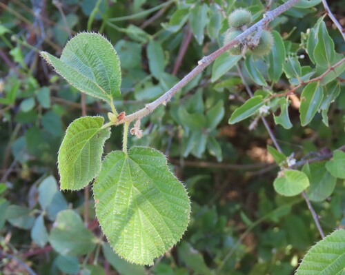
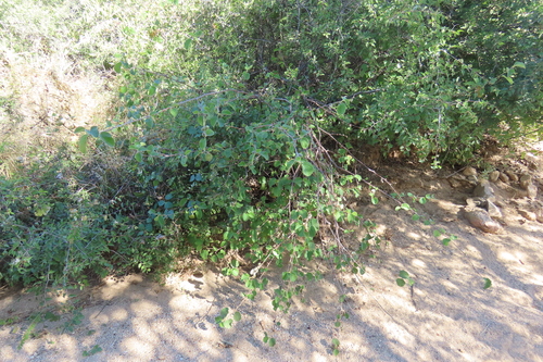
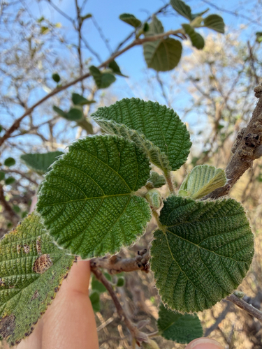
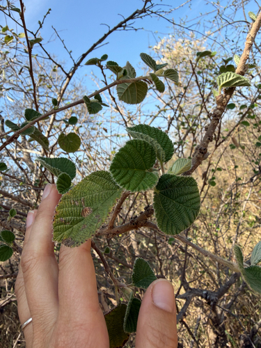
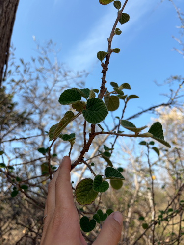
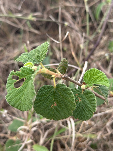
Photographs: author not stated, no rights reserved · CC0 (2); (c) Rebecca Ryen-Stols, some rights reserved (CC BY-SA) (3); (c) Christine Laney, some rights reserved (CC BY).
Related
Similar habitat climate The 6 nearest by mean daily high, mean nightly low and rain, month by month. How.
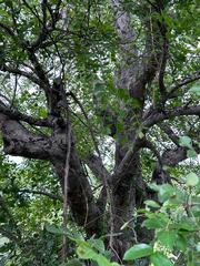 Lannea schweinfurthii False marula Photo: CC0, author not stated
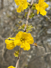 Rhigozum zambesiacum Eastern Rhigozum Photo: CC BY-SA, Rebecca Ryen-Stols
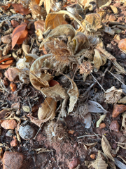 Crabbea velutina Velvet Pricklehead Photo: CC0, author not stated
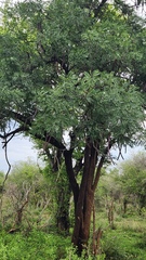 Cassia abbreviata Long-pod-cassia Photo: CC BY, Patrick Jackson
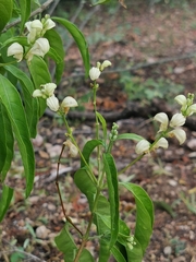 Justicia aconitiflora Acanthaceae Photo: CC BY, Elena_Sherehora
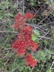 Combretum microphyllum Burningbush Photo: CC BY, Shedron Mukhumo
Other Grewia 18 in the reference
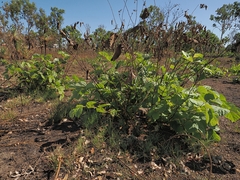 Grewia asiatica Phalsa Photo: CC BY, Roland Muench
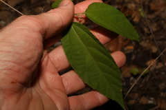 Grewia australis Malvaceae Photo: CC BY-SA, Greg Tasney
 Grewia bicolor Malvaceae Photo: CC BY, Mahomed Desai
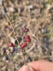 Grewia biloba Bilobed grewia Photo: CC BY, 振远 王
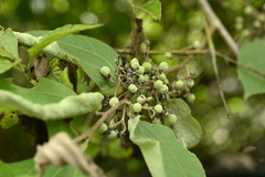 Grewia eriocarpa Malvaceae Photo: CC BY, 曾昱承 Yu-Cheng Zeng
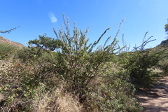 Grewia flava Brandy Bush Photo: CC0, author not stated
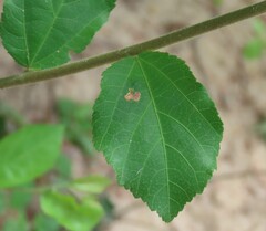 Grewia flavescens Sandpaper Raisin Photo: CC0, author not stated
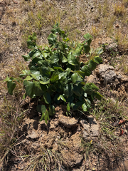 Grewia hexamita Giant Raisin Photo: CC BY-SA, alanbedfordshaw
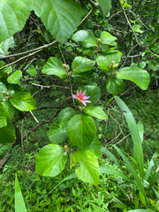 Grewia lasiocarpa Forest Raisinbush Photo: CC BY, Sunčana Bradley
 Grewia latifolia Malvaceae Photo: CC BY, Ethel Aardvark
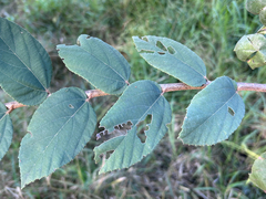 Grewia monticola Grey Raisin Photo: CC0, author not stated
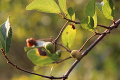 Grewia occidentalis Crossberry Photo: CC BY-SA, Tony Rebelo all 19 ›
Names & registers
Also known as Balmeda corylifolia; Grewia chaunothamnus; Grewia corylifolia; Grewia echinulata; Grewia heynei and 5 more. (GBIF Backbone)
The record
Every figure here is derived from public data by a stated rule and names its source; nothing about this species is written for its page by a person or by AI, apart from the marked, credited quotations. How →
Where this page came from built 2026-10-22
gbif.species answeredasked 2026-10-22gbif.synonyms answeredasked 2026-10-22gbif.vernacular answeredasked 2026-10-22names fetched 2026-10-22wcvp.distribution answeredas of 2026-06-04gbif.occurrences answeredas of 2026-10-21GBIF occurrence download https://doi.org/10.15468/dl.hbdw64, of 2026-10-21; 10 records within 1 km of a botanic garden, herbarium or zoo left out (10 at a botanic garden or arboretum; Wikidata's list)climate answeredasked 2026-10-22climate.extremes answeredasked 2026-10-22NASA POWER (MERRA-2) daily 1981–2024, cell -24.50_31.250, lapse-corrected -124 m at 6.5 °C/kmwikidata answeredasked 2026-10-22wikipedia answeredasked 2026-10-22inat.photos.wild answeredasked 2026-10-22from iNaturalist's open data of 2026-09-27: research-grade observations with an open-licence photograph, the 24 whose photographs iNaturalist received last (the open data holds no votes); filled 2026-10-22inat.photos.cultivated not askedgbif.media answeredasked 2026-10-22openalex not askednot yet asked for this reference; a later fill takes the papers from OpenAlex's snapshotEvery source is recorded as having answered, reported nothing, refused, failed, not been asked, or answered twice where one answer is taken (“not taken: two items answered”), and, for a source asked when this page was built, when: the figures are as the source held them that day; a source read from a file (Kew's World Checklist, a GBIF download) says "as of" the file's day instead; a row carried from an earlier build of the page names that build instead. Only “nothing to report” is ever shown as an absence. Records came from 68 datasets via GBIF.org; each carries its own licence.