
Mimetes stokoei E.Phillips & Hutch.
Mace Pagoda; Stokoe's Pagoda


 8 photographs ›
Summary
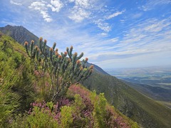
Mimetes stokoei, the mace pagoda, is an evergreen, upright, hardly branching, large shrub of 1–2 m (3–6+1⁄2 ft) high in the family Proteaceae. It has silvery, oval leaves of 5–8 cm (2.0–3.2 in) long and 2+1⁄2–4 cm (1.0–1.6 in) wide, with one large tooth supported by two smaller teeth near the tip, at an upward angle and somewhat overlapping each other. The inflorescences are set just below the growing tip, are cylinder-shaped, 10–12 cm (4–5 in) high, topped by a crest of small, more or less horizontal, pinkish-purple tinged leaves. It consists of several flower heads in the axils of golden leaves with a pinkish wash that form a hood shielding the underlying flower head. More on Wikipedia ›
Quoted from Wikipedia, "Mimetes stokoei", CC BY-SA 4.0.
Cultivation
Climate across the habitat
Natural habitat
How this section is made
Photographs
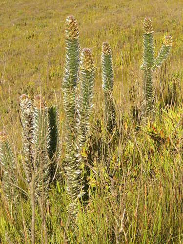
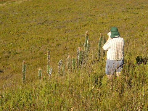
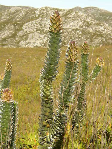
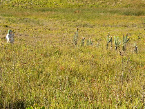


Photographs: (c) Tony Rebelo, some rights reserved (CC BY-SA) (4); Tony Rebelo, CC BY-SA 4.0, via Wikimedia Commons (2).
Related
Other Mimetes 9 in the reference
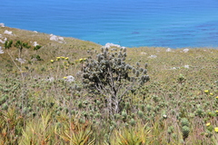 Mimetes arboreus Kogelberg Pagoda Photo: CC BY-SA, Tony Rebelo
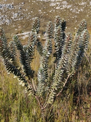 Mimetes argenteus Silver Pagoda Photo: CC BY-SA, Jeanette Clarke
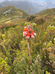 Mimetes capitulatus Conical Pagoda Photo: CC BY, André Deschodt
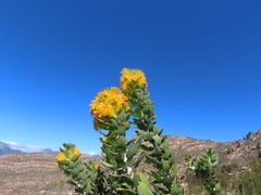 Mimetes chrysanthus Golden Pagoda Photo: CC BY, Christiaan Viljoen
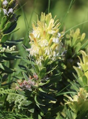 Mimetes cucullatus Common Pagoda Photo: CC BY, Cricket Raspet
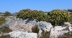 Mimetes fimbriifolius Tree Pagoda Photo: CC BY-SA, Tony Rebelo
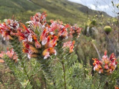 Mimetes hirtus Marsh Pagoda Photo: CC BY, Charleen Brunke
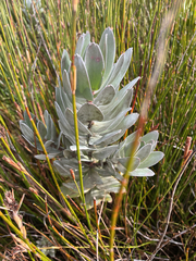 Mimetes hottentoticus Matchstick Pagoda Photo: CC BY, André Deschodt
 Mimetes splendidus Splendid Pagoda Photo: CC BY, Ren Hoekstra
Names & registers
The record
Every figure here is derived from public data by a stated rule and names its source; nothing about this species is written for its page by a person or by AI, apart from the marked, credited quotations. How →
Where this page came from built 2026-10-22
gbif.species answeredasked 2026-10-22gbif.synonyms answeredasked 2026-10-22gbif.vernacular answeredasked 2026-10-22names fetched 2026-10-22wcvp.distribution answeredas of 2026-06-04gbif.occurrences answeredas of 2026-10-21GBIF occurrence download https://doi.org/10.15468/dl.hbdw64, of 2026-10-21climate nothing to reportasked 2026-10-2215 in-range records, none placed to within 10 kmwikidata answeredasked 2026-10-22wikipedia answeredasked 2026-10-22inat.photos.wild answeredasked 2026-10-22from iNaturalist's open data of 2026-09-27: research-grade observations with an open-licence photograph, the 24 whose photographs iNaturalist received last (the open data holds no votes); filled 2026-10-22inat.photos.cultivated not askedgbif.media answeredasked 2026-10-22none of the photographs on this page is credited to GBIF: those shown are other sources', and GBIF's were the same photographs or were set aside by the photograph rulescommons answeredasked 2026-10-22openalex not askednot yet asked for this reference; a later fill takes the papers from OpenAlex's snapshotEvery source is recorded as having answered, reported nothing, refused, failed, not been asked, or answered twice where one answer is taken (“not taken: two items answered”), and, for a source asked when this page was built, when: the figures are as the source held them that day; a source read from a file (Kew's World Checklist, a GBIF download) says "as of" the file's day instead; a row carried from an earlier build of the page names that build instead. Only “nothing to report” is ever shown as an absence. Records came from 2 datasets via GBIF.org; each carries its own licence.