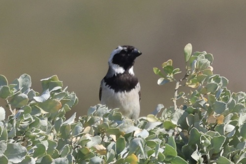
Tetragonia fruticosa L.
Lettucebush; Sea Coral; Sprawling Duneweed; Sprawling Seacoral
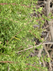
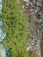
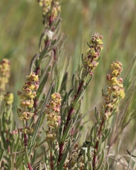
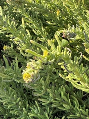
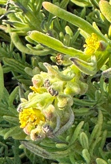
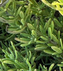 72 photographs ›
Summary
Tetragonia fruticosa, or kinkelbossie, is a coastal perennial shrub or scrambler endemic to Namibia. It is well-suited to dune sand stabilisation and often browsed by livestock and game. It is found from sea-level to about 1100 metres.
Quoted from Wikipedia, "Tetragonia fruticosa", CC BY-SA 4.0.
About the genus · Tetragonia
Tetragonia is a genus of 51 species of flowering plants in the family Aizoaceae, native to temperate and subtropical regions mostly of the Southern Hemisphere, in New Zealand, Australia, southern and eastern Africa, and western South America, and eastern Asia.
Quoted from Wikipedia, "Tetragonia", CC BY-SA 4.0.
Cultivation
Climate across the habitat
Natural habitat
How this section is made
Photographs
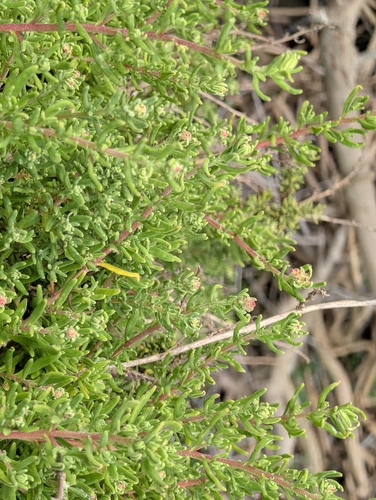
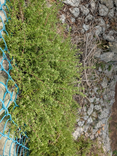
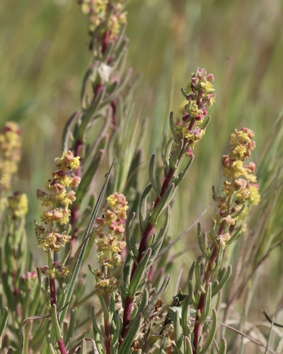
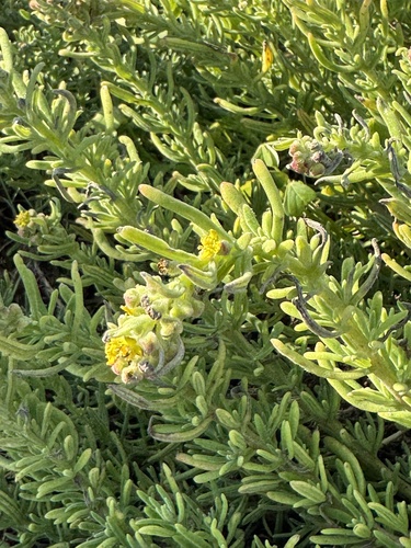
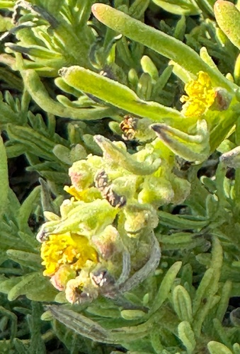
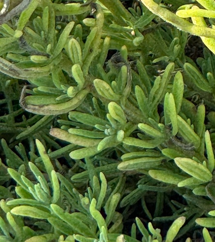
Photographs: (c) Jessica Utrup, some rights reserved (CC BY) (2); (c) Cricket Raspet, some rights reserved (CC BY); (c) chrisdt, some rights reserved (CC BY) (3).
Related
Other Tetragonia 5 in the reference
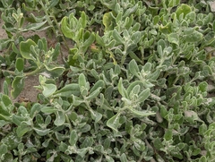 Tetragonia decumbens Coast Lettuce Photo: CC BY, Jessica Utrup
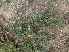 Tetragonia echinata Glitter Leaf Photo: CC BY, Kevin Faccenda
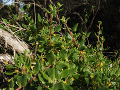 Tetragonia implexicoma New Zealand Climbing Spinach Photo: CC0, author not stated
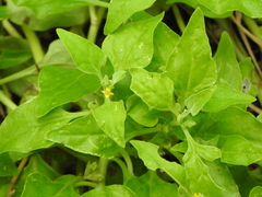 Tetragonia tetragonoides New Zealand-spinach Photo: CC BY-SA, Greg Tasney
 Tetragonia trigyna Aizoaceae Photo: CC0, Jaco Grundling
Names & registers
Also known as Tetragonia fruticosa var. lanceolata; Tetragonia fruticosa var. linearis; Tetragonia lanceolata; Tetragonia linearis. (GBIF Backbone)
The record
Every figure here is derived from public data by a stated rule and names its source; nothing about this species is written for its page by a person or by AI, apart from the marked, credited quotations. How →
Where this page came from built 2026-10-22
gbif.species answeredasked 2026-10-22gbif.synonyms answeredasked 2026-10-22gbif.vernacular answeredasked 2026-10-22names fetched 2026-10-22wcvp.distribution answeredas of 2026-06-04gbif.occurrences answeredas of 2026-10-21GBIF occurrence download https://doi.org/10.15468/dl.hbdw64, of 2026-10-21; 6 records within 1 km of a botanic garden, herbarium or zoo left out (3 at a botanic garden or arboretum, 1 at a herbarium, 2 at a zoo; Wikidata's list)climate nothing to reportasked 2026-10-22only 1 distinct land cell of the climate grid holds an in-range record placed to within 10 km; three are needed for an envelopewikidata answeredasked 2026-10-22wikipedia answeredasked 2026-10-22inat.photos.wild answeredasked 2026-10-22from iNaturalist's open data of 2026-09-27: research-grade observations with an open-licence photograph, the 24 whose photographs iNaturalist received last (the open data holds no votes); filled 2026-10-22inat.photos.cultivated not askedgbif.media answeredasked 2026-10-22openalex not askednot yet asked for this reference; a later fill takes the papers from OpenAlex's snapshotEvery source is recorded as having answered, reported nothing, refused, failed, not been asked, or answered twice where one answer is taken (“not taken: two items answered”), and, for a source asked when this page was built, when: the figures are as the source held them that day; a source read from a file (Kew's World Checklist, a GBIF download) says "as of" the file's day instead; a row carried from an earlier build of the page names that build instead. Only “nothing to report” is ever shown as an absence. Records came from 16 datasets via GBIF.org; each carries its own licence.