


 10 photographs ›
At a glance
- Jan
- Feb
- Mar
- Apr
- May, shaded
- Jun, shaded
- Jul, shaded
- Aug, shaded
- Sep, shaded
- Oct, shaded
- Nov, shaded
- Dec
Summary
Zanthoxylum punctatum, also known as the , is a species of flowering plant in the family Rutaceae. It is a shrub or tree of the Caribbean, where it is native to the Bahamas, Hispaniola (Dominican Republic and Haiti), Puerto Rico, the Leeward Islands, Windward Islands, Netherlands Antilles, and Trinidad and Tobago. Its natural habitats are tropical dry broadleaf forests and tropical dry scrub. It is threatened by habitat loss.
Quoted from Wikipedia, "Zanthoxylum punctatum", CC BY-SA 4.0.
About the genus · Zanthoxylum
Zanthoxylum is a genus of about 250 species of deciduous and evergreen trees, shrubs and climbers in the family Rutaceae that are native to warm temperate and subtropical areas worldwide. It is the type genus of the tribe Zanthoxyleae in the subfamily Rutoideae. Several of the species have yellow heartwood, to which their generic name alludes. More on Wikipedia ›
Quoted from Wikipedia, "Zanthoxylum", CC BY-SA 4.0.
Cultivation
Seasons
The rain rule reads a sharp season: 70% of the median year's rain (1,134 mm of 1,540 mm) falls in May to November. The temperature curve is flat, 2.5 °C between the warmest and coldest month, so the growing-season rule does not infer a growing season from it. Months are the habitat's, northern hemisphere. The temperature curve moves under 4 °C between the warmest and coldest month, where the shift rule does not apply, so they are not shifted for a collection elsewhere.
Rain
1,540 mm in the median year at the habitat, 1,134 mm of it May to November. Wettest month October at 207 mm, driest month February at 57 mm. Across the grid cells of the range the year's total runs 1,157 mm to 2,175 mm, the 10th to 90th percentile of each cell's own year. The median of the cells' own yearly totals, 1,582 mm, is the year's rain at the top of the page; the 1,540 mm here is the median year's, the twelve monthly medians added, which the rain rule reads. Habitat calendar, northern hemisphere; median year across the grid cells of the range, CHELSA.
Light
Open sky over the habitat: 30 to 43 mol/m²/day across the year (daily light integral, median year across the grid cells of the range, CHELSA; the lowest 10th-percentile month across the cells is 29, the highest 90th-percentile month 43).
Warmth and air
Monthly means: the coldest month's mean nightly low 23.8 °C in February (across the grid cells of the range 20.9 °C to 23.9 °C), the warmest month's mean daily high 27.9 °C in August and September (median year across the grid cells of the range, CHELSA). Cold floor: none read. The nearest figure is 23.8 °C, the coldest month's mean nightly low, February, in the median year (CHELSA); a month's mean of its nightly lows is warmer than the nights a floor is read from. The daily extremes were read at a weather cell that is mostly sea and are not used.
Relative humidity at the habitat: 61 to 65% across the year (monthly means, median year across the grid cells of the range, CHELSA). A figure about the air, saying nothing about how the plant takes water.
How this section is made
Each card states this species' habitat figures with their sources, and what two fixed rules read from them; nothing here says what the plant does, wants or tolerates. The rules · the terms.
Seasons. Read from the median year of CHELSA monthly rainfall and mean temperature across the grid cells of the range: the rain rule takes the smallest set of months carrying 70% of the rain and calls it winter when its mean is more than half a degree below the year's, summer when more than that above, and neither in between; the temperature rule, used only under 120 mm, names the cooler six months when they are at least a degree cooler than the other six. Months are shifted for the other hemisphere only where the temperature curve moves 4 °C or more and the habitat lies 10° or more from the equator. A reading of the curves, not an observation of the plant.
Rain. CHELSA monthly precipitation, median year across the grid cells of the range. The rain that falls where the species is recorded; nothing about how the plant takes water.
Light. CHELSA shortwave radiation at each envelope cell, a daily-mean flux taken to a daily total and converted at 2.07 mol of PAR per MJ. The sky over the habitat, measured; what reaches a plant under a rock, a shrub or a shade cloth is not.
Temperature. CHELSA monthly means, median year across the grid cells of the range. No cold floor is read without a daily extremes series; the coldest month's mean nightly low named in its sentence is not one. Not a measured survival limit for any plant in a pot.
Humidity. CHELSA relative humidity, median year across the grid cells of the range.
Climate across the habitat
Habitat months, northern hemisphere
Mean daily high from 25 °C in Jan, Feb and Mar to 28 °C in Jul, Aug, Sep and Oct; mean nightly low from 24 °C in Jan, Feb, Mar and Apr to 26 °C in Jun, Jul, Aug, Sep and Oct. The cold quarter, Jan to Mar, is the three months around the coldest month's mean nightly low, centred on the 4 months in a row that tie for it. 1,540 mm of rain in the median year (the twelve monthly medians added), the wettest month Oct. The bands show the 10th to 90th percentile across 38 habitat cells. Beneath: daily light integral and relative humidity through the year, each on its own scale.
Figures by month
| Figure | Jan | Feb | Mar | Apr | May | Jun | Jul | Aug | Sep | Oct | Nov | Dec |
|---|---|---|---|---|---|---|---|---|---|---|---|---|
| Day °C | 25 / 25–26 | 25 / 25–26 | 25 / 25–27 | 26 / 26–27 | 27 / 27–28 | 27 / 27–29 | 28 / 27–29 | 28 / 28–29 | 28 / 28–29 | 28 / 27–28 | 27 / 27–27 | 26 / 26–27 |
| Night °C | 24 / 21–24 | 24 / 21–24 | 24 / 21–24 | 24 / 22–25 | 25 / 23–25 | 26 / 24–26 | 26 / 24–26 | 26 / 24–26 | 26 / 24–26 | 26 / 24–26 | 25 / 23–25 | 25 / 22–25 |
| Rain mm | 81 / 65–102 | 57 / 48–79 | 60 / 49–91 | 98 / 67–169 | 126 / 98–241 | 111 / 74–180 | 131 / 97–195 | 177 / 111–232 | 195 / 121–268 | 207 / 153–253 | 187 / 155–226 | 110 / 95–157 |
| DLI | 31 / 31–32 | 36 / 35–36 | 41 / 40–41 | 43 / 42–43 | 42 / 41–43 | 42 / 42–43 | 42 / 41–42 | 41 / 41–42 | 38 / 38–39 | 34 / 34–35 | 31 / 30–32 | 30 / 29–31 |
| RH % | 62 / 60–64 | 61 / 60–63 | 61 / 60–63 | 63 / 61–65 | 64 / 62–67 | 64 / 62–66 | 64 / 63–65 | 64 / 63–66 | 65 / 63–67 | 65 / 63–68 | 64 / 62–67 | 62 / 61–65 |
The daily extremes were read at a NASA POWER cell that is 16% land: neither it nor the next candidates whose coldest month's mean nightly low is within 2 °C of the median across cells sit in a POWER cell that is mostly land, and the rule reads a cold floor only from a cell that is mostly land, so none is read for this species. Nor is the coldest month's mean nightly low taken as one: it is a mean of a month's lows, not its coldest night. What that cell gave over 44 years: absolute minimum 22.2 °C, 1st-percentile night 23.5 °C, 99th-percentile day 29.8 °C.
How this section is made
Natural habitat
How this section is made
Photographs
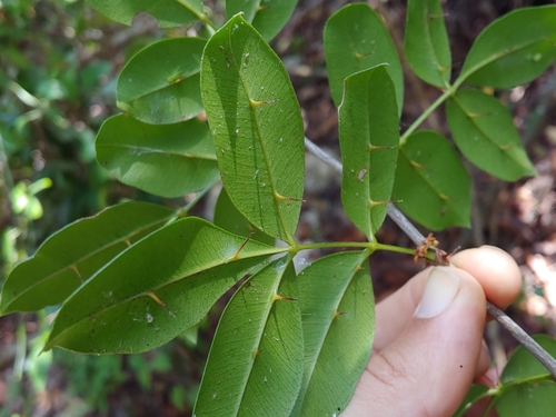
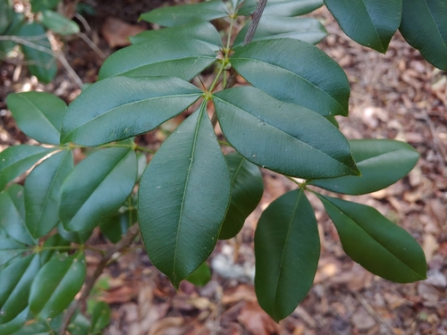
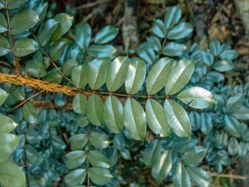
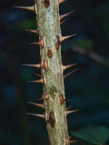
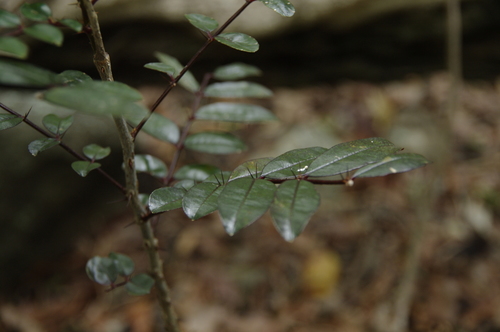
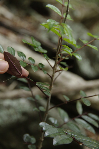
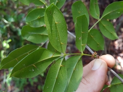
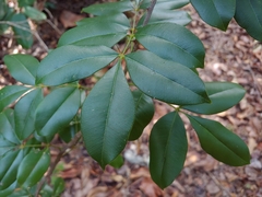
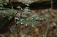
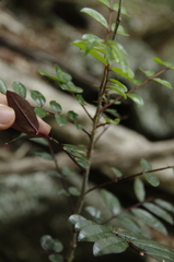
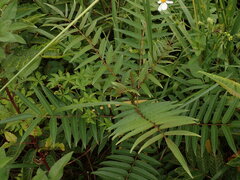
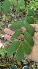
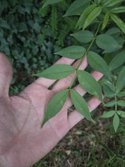
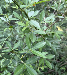
Photographs: (c) Kurt Miller, some rights reserved (CC BY-SA) (2); (c) Don Loarie, some rights reserved (CC BY) (2); (c) Eric Knight, some rights reserved (CC BY) (2).
Related
Similar habitat climate The 6 nearest by mean daily high, mean nightly low and rain, month by month. How.
 Hymenocallis caribaea Caribbean spider-lily Photo: CC BY, fmunoz
 Rauvolfia viridis Antigua Balsam Photo: CC BY, Alex Doyle
 Brunfelsia americana Lady of the night Photo: CC BY, Guillaume Delaitre
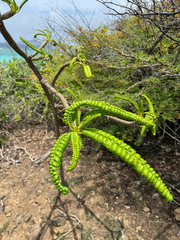 Plumeria alba Wild frangipani Photo: CC BY, Matteo Bellucci
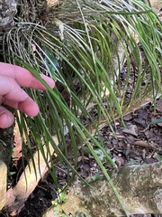 Brassavola cucullata Daddy longlegs orchid Photo: CC0, author not stated
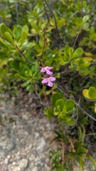 Tetramicra canaliculata Serpentine wallflower orchid Photo: CC0, author not stated
Other Zanthoxylum 31 in the reference
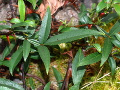 Zanthoxylum acanthopodium Rutaceae Photo: CC BY, Jacy Chen
 Zanthoxylum ailanthoides Alianthus-like prickly-ash Photo: CC BY, chiuluan
 Zanthoxylum americanum Toothache tree Photo: CC BY, Carter Ertel
 Zanthoxylum armatum Winged prickly-ash Photo: CC BY, jimmy
 Zanthoxylum asiaticum Climbing Orange Photo: CC BY, Aparna
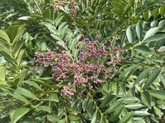 Zanthoxylum avicennae Chinese Wingleaf Prickly Ash Photo: CC BY, Toby Y
 Zanthoxylum beecheyanum Rutaceae Photo: CC BY, M108t
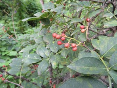 Zanthoxylum bungeanum Sichuan-pepper Photo: CC BY, Marco Mussita
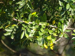 Zanthoxylum capense Rutaceae Photo: CC BY, Shaun Swanepoel
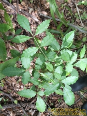 Zanthoxylum caribaeum Prickly yellow Photo: CC BY-SA, Janitzio Pech Zúñiga
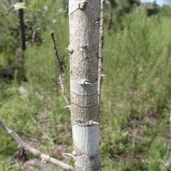 Zanthoxylum clava-herculis Hercules' club Photo: CC BY, Laura Gaudette
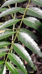 Zanthoxylum coco Rutaceae Photo: CC0, author not stated all 32 ›
Names & registers
Also known as Fagara obtriangulare. (GBIF Backbone)
The record
Every figure here is derived from public data by a stated rule and names its source; nothing about this species is written for its page by a person or by AI, apart from the marked, credited quotations. How →
Where this page came from built 2026-10-22
gbif.species answeredasked 2026-10-22gbif.synonyms answeredasked 2026-10-22gbif.vernacular answeredasked 2026-10-22names fetched 2026-10-22wcvp.distribution answeredas of 2026-06-04gbif.occurrences answeredas of 2026-10-21GBIF occurrence download https://doi.org/10.15468/dl.hbdw64, of 2026-10-21; 4 records within 1 km of a botanic garden, herbarium or zoo left out (4 at a botanic garden or arboretum; Wikidata's list)climate answeredasked 2026-10-22climate.extremes answeredasked 2026-10-22NASA POWER (MERRA-2) daily 1981–2024, cell 18.50_-65.000, lapse-corrected +58 m at 6.5 °C/km; read, and set aside: NASA POWER's cell is mostly sea (16% land), so no cold floor is shownwikidata answeredasked 2026-10-22wikipedia answeredasked 2026-10-22inat.photos.wild answeredasked 2026-10-22from iNaturalist's open data of 2026-09-27: research-grade observations with an open-licence photograph, the 24 whose photographs iNaturalist received last (the open data holds no votes); filled 2026-10-22inat.photos.cultivated not askedgbif.media answeredasked 2026-10-22commons nothing to reportasked 2026-10-22openalex not askednot yet asked for this reference; a later fill takes the papers from OpenAlex's snapshotEvery source is recorded as having answered, reported nothing, refused, failed, not been asked, or answered twice where one answer is taken (“not taken: two items answered”), and, for a source asked when this page was built, when: the figures are as the source held them that day; a source read from a file (Kew's World Checklist, a GBIF download) says "as of" the file's day instead; a row carried from an earlier build of the page names that build instead. Only “nothing to report” is ever shown as an absence. Records came from 23 datasets via GBIF.org; each carries its own licence.