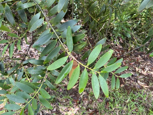
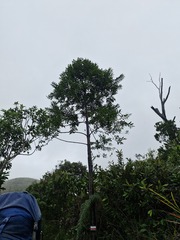
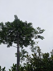
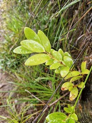
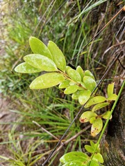
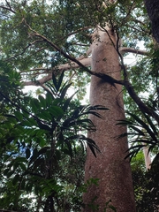
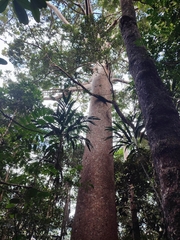
 22 photographs ›
Summary
Agathis lanceolata is a species of conifer in the family Araucariaceae. It is a tree endemic to New Caledonia. It is concentrated in the southern Massif of Grande Terre, New Caledonia's main island, with northern outliers near Bopope on the Boulinda and Mé Maoya massifs. It is a large emergent tree in dense humid rain forests on ultramafic soils from 100 to 900 metres elevation. More on Wikipedia ›
Quoted from Wikipedia, "Agathis lanceolata", CC BY-SA 4.0.
About the genus · Agathis
Agathis, known by the common names kauri and dammara, is a genus of coniferous trees native to Australasia and Southeast Asia. It is one of three extant genera in the family Araucariaceae, alongside Wollemia and Araucaria. Its leaves are much broader than most conifers. More on Wikipedia ›
Quoted from Wikipedia, "Agathis", CC BY-SA 4.0.
Cultivation
Climate across the habitat
Natural habitat
How this section is made
Photographs
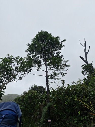
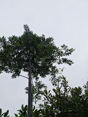
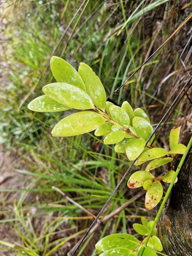
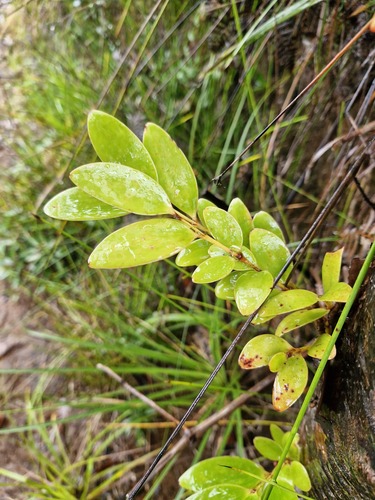
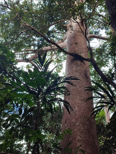
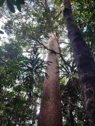
Photographs: (c) Irisa Hudson, some rights reserved (CC BY) (4); author not stated, no rights reserved · CC0 (2).
Related
Other Agathis 10 in the reference
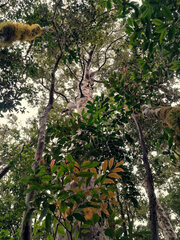 Agathis atropurpurea Blue Kauri Photo: CC BY-SA, Steve Fitzgerald
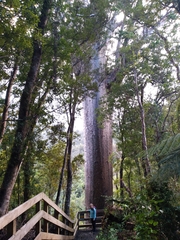 Agathis australis Araucariaceae Photo: CC BY, Leon Perrie
 Agathis borneensis Borneo kauri Photo: CC BY, Carrie Seltzer
 Agathis dammara Dammar-pine Photo: CC BY-SA, Wibowo Djatmiko (Wie146)
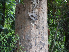 Agathis labillardierei New Guinea kauri Photo: CC0, author not stated
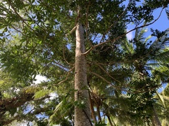 Agathis macrophylla Fijian Kauri Pine Photo: CC BY, Neal Kelso
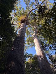 Agathis microstachya Bull kauri Photo: CC BY, Richard Littauer
 Agathis moorei Moore's Kauri Photo: CC BY-SA, Poyt448, Peter Woodard
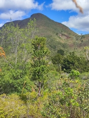 Agathis ovata Scrub Kauri Photo: CC0, author not stated
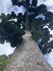 Agathis robusta Queensland kauri Photo: CC BY, sblumen
Names & registers
Also known as Dammara lanceolata; Dammara ovata; Salisburyodendron lanceolata. (GBIF Backbone)
The record
Every figure here is derived from public data by a stated rule and names its source; nothing about this species is written for its page by a person or by AI, apart from the marked, credited quotations. How →
Where this page came from built 2026-10-21
gbif.species answeredasked 2026-10-21gbif.synonyms answeredasked 2026-10-21gbif.vernacular answeredasked 2026-10-21names fetched 2026-10-21wcvp.distribution answeredas of 2026-06-04gbif.occurrences answeredas of 2026-10-21GBIF occurrence download https://doi.org/10.15468/dl.hbdw64, of 2026-10-21; 4 records within 1 km of a botanic garden, herbarium or zoo left out (3 at a botanic garden or arboretum, 1 at a zoo; Wikidata's list)climate nothing to reportasked 2026-10-21only 2 distinct land cells of the climate grid hold an in-range record placed to within 10 km; three are needed for an envelopewikidata answeredasked 2026-10-21wikipedia answeredasked 2026-10-21inat.photos.wild answeredasked 2026-10-22from iNaturalist's open data of 2026-09-27: research-grade observations with an open-licence photograph, the 24 whose photographs iNaturalist received last (the open data holds no votes); filled 2026-10-22inat.photos.cultivated not askedgbif.media answeredasked 2026-10-21openalex not askednot yet asked for this reference; a later fill takes the papers from OpenAlex's snapshotEvery source is recorded as having answered, reported nothing, refused, failed, not been asked, or answered twice where one answer is taken (“not taken: two items answered”), and, for a source asked when this page was built, when: the figures are as the source held them that day; a source read from a file (Kew's World Checklist, a GBIF download) says "as of" the file's day instead; a row carried from an earlier build of the page names that build instead. Only “nothing to report” is ever shown as an absence. Records came from 13 datasets via GBIF.org; each carries its own licence.