 22 photographs ›
At a glance
- Jan, shaded
- Feb, shaded
- Mar, shaded
- Apr, shaded
- May, shaded
- Jun
- Jul
- Aug
- Sep
- Oct
- Nov, shaded
- Dec, shaded
Summary
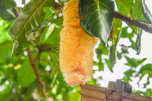
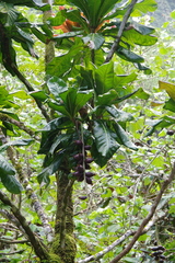
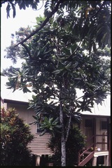
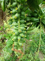
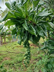
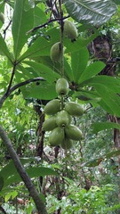
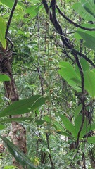
Barringtonia edulis is a species of tree with edible fruits from the southwestern Pacific region, being found on Fiji and Vanuatu. Common names include cut nut, pao nut, boxfruit tree, heart tree, and yum-yum tree. It was first described in 1866 by Berthold Carl Seeman.
Quoted from Wikipedia, "Barringtonia edulis", CC BY-SA 4.0.
About the genus · Barringtonia
Barringtonia is a genus of flowering plants in the family Lecythidaceae first described as a genus with this name in 1775. It is native to Africa, southern Asia, Australia, and various islands of the Pacific and Indian Oceans. The genus name commemorates Daines Barrington.
Quoted from Wikipedia, "Barringtonia", CC BY-SA 4.0.
Cultivation
Seasons
The rain rule reads a sharp season: 70% of the median year's rain (1,796 mm of 2,432 mm) falls in November to May. The temperature curve is flat, 3.2 °C between the warmest and coldest month, so the growing-season rule does not infer a growing season from it. Months are the habitat's, southern hemisphere. The temperature curve moves under 4 °C between the warmest and coldest month, where the shift rule does not apply, so they are not shifted for a collection elsewhere.
Rain
2,432 mm in the median year at the habitat, 1,796 mm of it November to May. Wettest month March at 320 mm, driest month July at 97 mm. Across the grid cells of the range the year's total runs 1,966 mm to 3,996 mm, the 10th to 90th percentile of each cell's own year. The median of the cells' own yearly totals, 2,388 mm, is the year's rain at the top of the page; the 2,432 mm here is the median year's, the twelve monthly medians added, which the rain rule reads. Habitat calendar, southern hemisphere; median year across the grid cells of the range, CHELSA.
Light
Open sky over the habitat: 24 to 41 mol/m²/day across the year (daily light integral, median year across the grid cells of the range, CHELSA; the lowest 10th-percentile month across the cells is 23, the highest 90th-percentile month 43).
Warmth and air
Monthly means: the coldest month's mean nightly low 22.8 °C in August (across the grid cells of the range 21.0 °C to 24.1 °C), the warmest month's mean daily high 27.6 °C in February (median year across the grid cells of the range, CHELSA). Cold floor: none read. The nearest figure is 22.8 °C, the coldest month's mean nightly low, August, in the median year (CHELSA); a month's mean of its nightly lows is warmer than the nights a floor is read from. The daily extremes were read at a weather cell that is mostly sea and are not used.
Relative humidity at the habitat: 61 to 66% across the year (monthly means, median year across the grid cells of the range, CHELSA). A figure about the air, saying nothing about how the plant takes water.
How this section is made
Each card states this species' habitat figures with their sources, and what two fixed rules read from them; nothing here says what the plant does, wants or tolerates. The rules · the terms.
Seasons. Read from the median year of CHELSA monthly rainfall and mean temperature across the grid cells of the range: the rain rule takes the smallest set of months carrying 70% of the rain and calls it winter when its mean is more than half a degree below the year's, summer when more than that above, and neither in between; the temperature rule, used only under 120 mm, names the cooler six months when they are at least a degree cooler than the other six. Months are shifted for the other hemisphere only where the temperature curve moves 4 °C or more and the habitat lies 10° or more from the equator. A reading of the curves, not an observation of the plant.
Rain. CHELSA monthly precipitation, median year across the grid cells of the range. The rain that falls where the species is recorded; nothing about how the plant takes water.
Light. CHELSA shortwave radiation at each envelope cell, a daily-mean flux taken to a daily total and converted at 2.07 mol of PAR per MJ. The sky over the habitat, measured; what reaches a plant under a rock, a shrub or a shade cloth is not.
Temperature. CHELSA monthly means, median year across the grid cells of the range. No cold floor is read without a daily extremes series; the coldest month's mean nightly low named in its sentence is not one. Not a measured survival limit for any plant in a pot.
Humidity. CHELSA relative humidity, median year across the grid cells of the range.
Climate across the habitat
Habitat months, southern hemisphere
Mean daily high from 24 °C in Jul, Aug and Sep to 28 °C in Feb and Mar; mean nightly low from 23 °C in Jul, Aug and Sep to 26 °C in Jan, Feb and Mar. The cold quarter, Jul to Sep, is the three months around the coldest month's mean nightly low, centred on the 3 months in a row that tie for it. 2,432 mm of rain in the median year (the twelve monthly medians added), the wettest month Mar. The bands show the 10th to 90th percentile across 30 habitat cells. Beneath: daily light integral and relative humidity through the year, each on its own scale.
Figures by month
| Figure | Jan | Feb | Mar | Apr | May | Jun | Jul | Aug | Sep | Oct | Nov | Dec |
|---|---|---|---|---|---|---|---|---|---|---|---|---|
| Day °C | 27 / 27–28 | 28 / 27–28 | 28 / 27–28 | 27 / 26–27 | 26 / 25–27 | 25 / 24–26 | 24 / 23–25 | 24 / 23–25 | 24 / 24–26 | 25 / 24–26 | 26 / 25–27 | 27 / 26–28 |
| Night °C | 26 / 24–26 | 26 / 24–26 | 26 / 24–26 | 25 / 24–26 | 25 / 23–25 | 24 / 22–25 | 23 / 21–24 | 23 / 21–24 | 23 / 21–24 | 24 / 22–25 | 25 / 23–25 | 25 / 24–26 |
| Rain mm | 288 / 244–400 | 302 / 228–376 | 320 / 275–394 | 290 / 211–457 | 201 / 160–349 | 159 / 110–271 | 97 / 77–225 | 117 / 76–220 | 118 / 69–233 | 145 / 91–278 | 185 / 128–398 | 210 / 165–395 |
| DLI | 41 / 38–42 | 39 / 36–40 | 36 / 34–36 | 31 / 29–32 | 26 / 25–28 | 24 / 23–26 | 24 / 23–27 | 28 / 27–31 | 34 / 32–35 | 39 / 36–40 | 40 / 38–42 | 41 / 39–43 |
| RH % | 66 / 64–71 | 66 / 64–71 | 66 / 64–71 | 65 / 63–71 | 63 / 61–69 | 62 / 60–69 | 61 / 59–66 | 61 / 59–66 | 62 / 59–67 | 63 / 60–68 | 64 / 62–70 | 65 / 63–70 |
The daily extremes were read at a NASA POWER cell that is 4% land: neither it nor the next candidates whose coldest month's mean nightly low is within 2 °C of the median across cells sit in a POWER cell that is mostly land, and the rule reads a cold floor only from a cell that is mostly land, so none is read for this species. Nor is the coldest month's mean nightly low taken as one: it is a mean of a month's lows, not its coldest night. What that cell gave over 44 years: absolute minimum 19.1 °C, 1st-percentile night 21.7 °C, 99th-percentile day 29.2 °C.
How this section is made
Natural habitat
How this section is made
Photographs

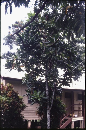
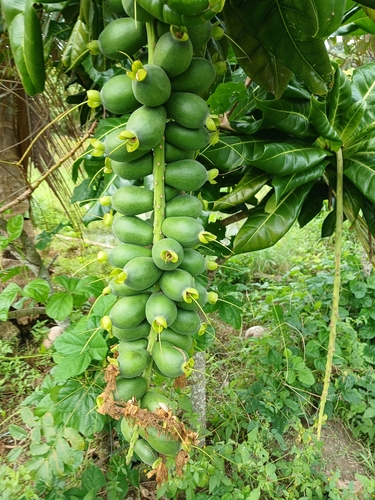
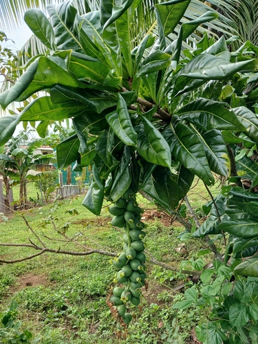
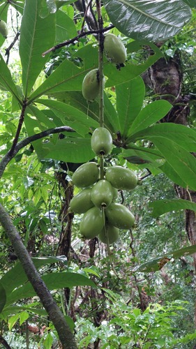
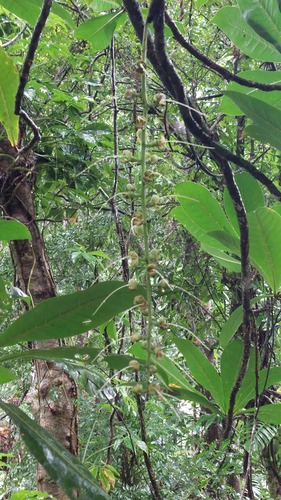
Photographs: (c) Eric Knight, some rights reserved (CC BY); (c) Jiro Iguchi, some rights reserved (CC BY); (c) Mike Bowie, some rights reserved (CC BY) (2); (c) Ruth Palsson, some rights reserved (CC BY-SA) (2).
Related
Similar habitat climate The 6 nearest by mean daily high, mean nightly low and rain, month by month. How.
 Heliotropium anomalum Polynesian heliotrope Photo: CC BY, Neal Kelso
 Lepidium bidentatum Kunana pepperwort Photo: CC BY, Kevin Faccenda Solanum viride Solanaceae
 Metrosideros vitiensis Myrtaceae Photo: CC BY, Neal Kelso
 Sphaeropteris lunulata Balabala Photo: CC BY, Cheng-Wei CHEN
 Hernandia nymphaeifolia Sea hearse Photo: CC BY, Brendan McIntyre
Other Barringtonia 12 in the reference
 Barringtonia acutangula Freshwater mangrove Photo: CC BY, Alan Bell
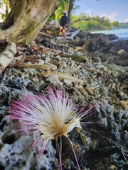 Barringtonia asiatica Sea putat Photo: CC BY, Shelomi Doyle
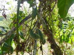 Barringtonia calyptrata Corned Beef Wood Photo: CC BY-SA, Steve Fitzgerald Barringtonia conoidea Lecythidaceae Barringtonia fusicarpa Lecythidaceae
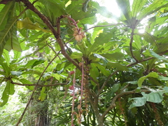 Barringtonia macrocarpa Lecythidaceae Photo: CC BY, luluchouette
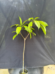 Barringtonia macrostachya Lecythidaceae Photo: CC BY, Adam Kamal
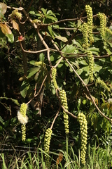 Barringtonia neocaledonica Lecythidaceae Photo: CC0, author not stated Barringtonia procera Cutnut
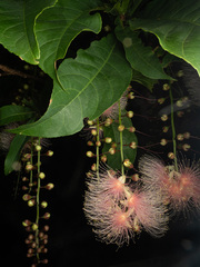 Barringtonia racemosa China-pine Photo: CC BY, Saryu Mae 前 朝琉 Barringtonia reticulata Lecythidaceae
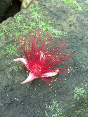 Barringtonia samoensis Lecythidaceae Photo: CC BY, Ben Hayden
Names & registers
Also known as Butonica edulis; Huttum edule. (GBIF Backbone)
The record
Every figure here is derived from public data by a stated rule and names its source; nothing about this species is written for its page by a person or by AI, apart from the marked, credited quotations. How →
Where this page came from built 2026-10-21
gbif.species answeredasked 2026-10-21gbif.synonyms answeredasked 2026-10-21gbif.vernacular answeredasked 2026-10-21names fetched 2026-10-21wcvp.distribution answeredas of 2026-06-04gbif.occurrences answeredas of 2026-10-21GBIF occurrence download https://doi.org/10.15468/dl.hbdw64, of 2026-10-21; 11 records within 1 km of a botanic garden, herbarium or zoo left out (11 at a botanic garden or arboretum; Wikidata's list)climate answeredasked 2026-10-21climate.extremes answeredasked 2026-10-21NASA POWER (MERRA-2) daily 1981–2024, cell -18.00_168.750, lapse-corrected -1 m at 6.5 °C/km; read, and set aside: NASA POWER's cell is mostly sea (4% land), so no cold floor is shownwikidata answeredasked 2026-10-21wikipedia answeredasked 2026-10-21inat.photos.wild answeredasked 2026-10-22from iNaturalist's open data of 2026-09-27: research-grade observations with an open-licence photograph, the 24 whose photographs iNaturalist received last (the open data holds no votes); filled 2026-10-22inat.photos.cultivated not askedgbif.media answeredasked 2026-10-21openalex not askednot yet asked for this reference; a later fill takes the papers from OpenAlex's snapshotEvery source is recorded as having answered, reported nothing, refused, failed, not been asked, or answered twice where one answer is taken (“not taken: two items answered”), and, for a source asked when this page was built, when: the figures are as the source held them that day; a source read from a file (Kew's World Checklist, a GBIF download) says "as of" the file's day instead; a row carried from an earlier build of the page names that build instead. Only “nothing to report” is ever shown as an absence. Records came from 12 datasets via GBIF.org; each carries its own licence.